
A Local's Guide to Horseshoe Bay: Mile Zero of the Sea to Sky Highway
Updated August 2026 · The village most people drive straight past
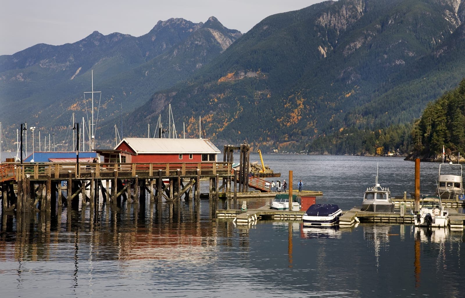
Most people who've driven the length of the Sea to Sky Highway have never actually seen where it starts. There's a sign in Horseshoe Bay marking Mile Zero — down in the village, not out on the highway shoulder — and it's a four-minute walk from a ferry lineup that seven million people sit in every year. Almost none of them make the walk.
Where the Highway Begins
Horseshoe Bay is the southern start of the Sea to Sky Highway: 134 kilometres of Highway 99 running north to Pemberton, a provincially designated scenic route, and the stretch everyone actually means when they say “the Sea to Sky.” Squamish, Whistler, and Pemberton all hang off it.
Geographically, it's the obvious spot. The village sits right at the entrance to Howe Sound — the point where the city lets go and the road commits to water on one side and mountains on the other. The better question is why the count starts in a village of a few hundred people rather than in Vancouver, where the traffic actually comes from.
The Ferries Came First
The answer is that the ferries got here fifteen years before the pavement did.
Black Ball Line leased a wharf and started running to Gibsons in 1951. Nanaimo followed in 1953, and Bowen Island in 1956 — taken over from the Union Steamship Company, which had already been working these waters for decades. In 1961, the provincial government bought out Black Ball's operations entirely, and what came out the other side was BC Ferries.
Highway 99 wasn't paved until 1966 — one lane each way, carved into the cliffs above Howe Sound. Before that, you reached Squamish by boat or by the Pacific Great Eastern railway. Horseshoe Bay was a port before it was ever a starting line, which is exactly why the Mile Zero marker sits where it does: this is the spot where the water route handed off to the road, not the other way round.
The highway most people drive today was substantially rebuilt for the 2010 Olympics — curves straightened, four lanes carried across most of the corridor, dozens of new bridges and retaining walls added between 2008 and 2009.
A Village That Changed Its Name Twice
The Squamish Nation called this bay Ch'ax̱áy̓ — “sizzling waters” — for the way salmon would drive herring up to the surface until the whole bay looked like it was boiling.
An Admiralty survey in 1909 named the point White Cliff, and the settlement became White Cliff City. Then in the late 1930s, a Colonel Albert Whyte bought land here and persuaded the Pacific Great Eastern railway to make “Whytecliff” the official name — a deliberate misspelling, so the place would carry his own. It stuck for eight years. On July 28, 1945, residents voted to rename it Horseshoe Bay instead, after the shape of the water. The Colonel kept a park and a headland out of the deal, which is more than most vanity projects manage.
Where to Eat
Troll's has been doing fish and chips on the waterfront since 1946 — older than the highway, which is the correct order of things. Olive & Anchor does the same job with a better view and a bit more room. The Troller Ale House is the move if you want a pint and a Yorkshire pudding with it. Pudgie's Pizza has been going since the 1980s and knows exactly what it's doing. The Boathouse if you want a tablecloth involved.
Where to Walk
Horseshoe Bay Park sits right on the water — a playground, a spray park, a pier, two totem poles, and a 5,000-pound cast bronze propeller off a converted whaling ship that most people walk straight past on their way to an ice cream cone. It's worth the ten-minute loop even if you're only killing time before a sailing.
Go Further: Whytecliff Park
Five minutes west of the village, Whytecliff Park was the first Marine Protected Area in Canada — over 200 marine species, some of the best shore diving on the coast, and sea lions hauled out on the rocks through summer. At low tide, you can walk across to Whyte Islet. Check the tide table before you commit, or you're swimming back.
Catch a Different Boat
If your ferry isn't for another hour, walk on to Bowen Island instead — twenty minutes each way, no reservation needed, and Snug Cove is a genuine day out rather than a consolation prize. Sewell's Marina also runs sea safaris into Howe Sound if you want to be on the water without actually going anywhere in particular.
Crossing Times, if You're Timing Lunch
Bowen Island: 20 minutes. Langdale and the Sunshine Coast: 40 minutes. Departure Bay and Nanaimo: 1 hour 40.
The Bottom Line on Horseshoe Bay
It's easy to treat Horseshoe Bay as the place you wait, not the place you visit. But it was a working port before the highway existed, it's named after a colonel's failed vanity project, and it's got a better fish-and-chips shop than most of the corridor it feeds into. Next time the ferry lineup is long, park it and walk into the village. Mile Zero is down there waiting, and you've been driving past it for years.